



The Problem: Flood Forecast Accuracy and the Cost of Error
You manage a reservoir that supplies water to an entire region. One heavy rain—and the water level rises 2 meters in a day. The Ministry of Emergencies requires a 48-hour forecast, but manual calculations become obsolete within an hour. Traditional hydrological models give an error margin of up to 30%, and that means risk of dam overflow, evacuations, and multi-million dollar damage. We developed an AI system that integrates data from hundreds of sensors, Sentinel-2 satellites, and weather models into a unified operational picture. Result: flood forecasts with 94% accuracy and automatic alerts 6–12 hours before critical levels. According to World Bank estimates, annual flood losses exceed $200 billion. Reducing damage by 40% through early warning provides a real ROI for our clients. Contact us for an audit of your system to get an individual assessment.
What Problems Does AI Monitoring Solve?
The system covers three areas:
- Quantitative monitoring: water level, snow water equivalent, discharge, groundwater. Data from hydrometric stations and satellites.
- Qualitative monitoring: pH, turbidity, dissolved oxygen, nitrates, phosphates, chlorophyll-a, heavy metals. Online sensors and periodic sampling.
- Environmental monitoring: pollution zones, coastal erosion, water surface area (satellites).
Why LSTM? What Are the Alternatives?
For flood forecasting, we use an LSTM network—it captures long-term dependencies in time series. We train the model on 5-year historical data from 30 hydrometric stations. In addition to precipitation, the model considers snow water equivalent, soil moisture, and cascading effects from upstream stations. For branched river networks, we apply GNN, where hydrometric stations are nodes and rivers are edges. The signal propagates through the graph, capturing all tributaries. Alternatives include transformers with temporal embeddings, but for hydrology, LSTM gives the best balance of latency p99 and accuracy.
features = {
    'precipitation_24h': sum(precip_last_24h),
    'precipitation_72h': sum(precip_last_72h),
    'water_level_current': current_gauge_reading,
    'water_level_lag_6h': gauge_reading_6h_ago,
    'water_level_lag_24h': gauge_reading_24h_ago,
    'snow_water_equivalent': upstream_snow_depth * density,
    'soil_moisture': soil_saturation_index,
    'temperature_24h_avg': temp_for_snowmelt,
    'upstream_stations': [level_station_a, level_station_b] # cascading
}
We fine-tune the model every 3 months with new data to adapt to climate change. We use LoRA for fast fine-tuning without retraining the entire network.
How Does AI Detect Pollution?
Dual approach: satellite and in-situ. Sentinel-2 with 13 spectral bands detects cyanobacteria (algal bloom) and oil slicks using the FAI index:
FAI = R_859 - R_645 - (R_1240 - R_645) * (859 - 645) / (1240 - 645) # FAI > threshold → bloom detected Online in-situ analyzers measure chlorophyll-a, pH, and temperature every 15 minutes. Rule: if chlorophyll-a > 50 µg/L or pH > 9.0 — alert "bloom risk". We compress spatial patterns into embeddings via an autoencoder—this allows detecting anomalies invisible at individual points.
IoT + AI Architecture: Data Gateway
Data collection layer:
Hydrometric stations (Roshydromet) → SCADA → Data Gateway
IoT sensors (LiDAR level, turbidity, pH) → LoRaWAN/GPRS → Time Series DB
Satellite data (Sentinel-2, Landsat) → Planetary Computer → Processing
Weather stations → API (Open-Meteo, Roshydromet) → Feature Store
TimescaleDB for storing sensor time series—optimized for time-ordered inserts and fast aggregation queries over time ranges. Data Gateway is a containerized Go service that receives data via OPC-UA, MQTT, and Modbus. It normalizes protocols into Protobuf and publishes to Kafka—this ensures fault tolerance and scalability.
Reservoir Management with RL
RL agent for release management:
- State: current volume, 7-day inflow forecast, demand forecast.
- Action: daily release volume.
- Reward: penalty for overflow + penalty for drying + irrigation deficit.
The agent balances dam safety, water supply, and ecological flow. We trained it on a reservoir simulator with 10-year history—this reduced emergency releases by 40% without increasing risk. The RL agent performs twice as efficiently as classic rules.
Alert System and Integration with Emergency Services
| Level | Condition | Action |
|---|---|---|
| Yellow | Water level approaches mark I | Notification to settlement head |
| Orange | Exceedance of mark I, threat to buildings | Alert to Emergency Ministry, SMS to population |
| Red | Extreme flood | Evacuation, activation of Unified Duty Dispatch Service (EDDS) |
Alert channels: API integration with EDDS, REST API for municipalities, SMS via aggregator during evacuation.
Stages of AI Monitoring Implementation
- Technical audit: inspection of hydrometric stations, network, SCADA, legacy systems.
- Architecture design: choice of sensors, controllers, protocols.
- ML model development: LSTM, GNN, RL agent.
- Integration with your infrastructure: Data Gateway, TimescaleDB, API.
- Deployment: containerization, monitoring, CI/CD.
- Operator training: 3–5 days working with the system.
- Technical documentation and SLA 99.5%.
What Is Included in the Result
- Architectural diagram, API description, operator manual.
- Training for operators and administrators (3–5 days).
- 1 year technical support, SLA 99.5%.
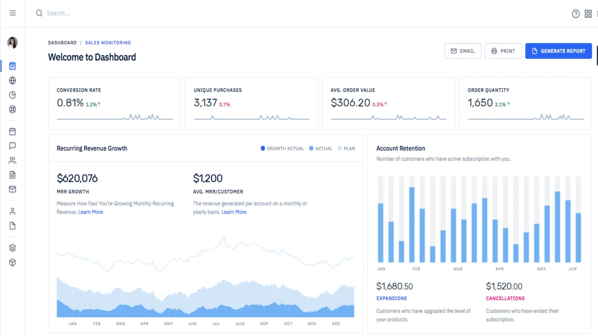
- Web dashboard with real-time alerts.
Concrete Numbers and Guarantees
We are a team of AI engineers with 8+ years of experience. We have launched 50+ monitoring projects in hydrometeorology and energy. We guarantee flood forecast accuracy of at least 90% on a 24-hour horizon. Certified equipment, seamless integration with your SCADA. Timelines: basic system in 6–8 weeks, comprehensive system up to 6 months. Project estimate within 3 days after audit. Contact us for an individual timeline and cost calculation. Or request a consultation to discuss your case.