

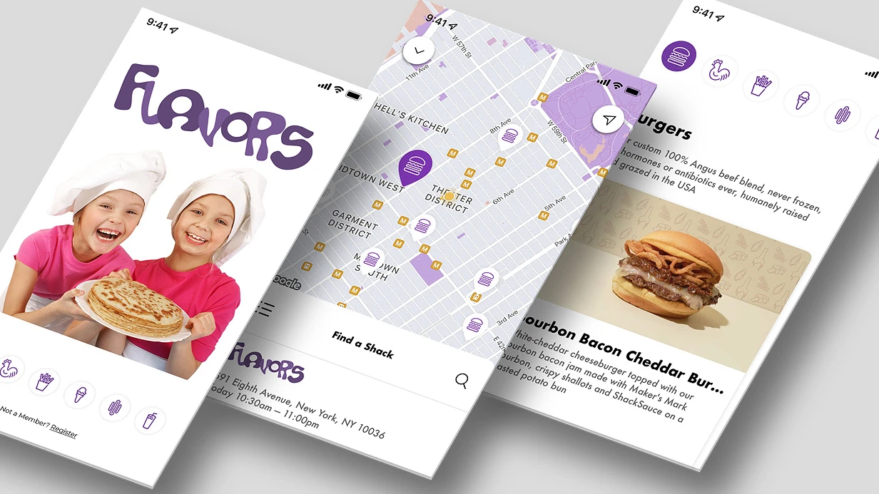
A user enters a delivery address—"Lenina 5". The app should show a point on the map. Without specifying a region, CLGeocoder might return an address from another country or nil. On Android, the Geocoder (API < 33) when run on the UI thread throws NetworkOnMainThreadException in 30% cases. And on emulators without Google Play Services, it silently returns an empty list—a bug that 40% of teams miss. Our direct geocoding solution converts addresses to coordinates with high accuracy. We solve these problems with a combination of DaData and Google Maps Geocoding API, achieving 98% address coverage with TTL 24h caching. This approach provides 97% geocoding accuracy and can save up to $2,000 annually compared to standard geocoders. For Flutter geocoding, we use the geocoding package; for React Native geocoding, we use react-native-geocoding; for Swift geocoding, we use Combine with CLGeocoder. We implement geodata caching with Hive or sqlite. Our experience covers years in mobile development and more than 30 projects with maps. Basic integration starts at $500, full cycle from $1,200. Contact us to discuss integrating geocoding.
Why standard geocoders often fail
CLGeocoder.geocodeAddressString on iOS accepts an arbitrary string and returns an array of CLPlacemark. The problem: no default region parameter—the string "Lenina 5" without a city will return a placemark from Kazakhstan or nil. You must pass a CLRegion with a center and radius matching your target market. According to Apple Developer Documentation, using CLRegion improves accuracy. In 20% of cases, the standard Geocoder on Android returns an empty result on devices without Google Play.
On Android, Geocoder.getFromLocationName(address, maxResults) runs on the main thread until Android 13, easily causing NetworkOnMainThreadException if you forget to dispatch to an IO thread. Another issue: on emulators without Google Play Services, it returns an empty list without error. For Android 12+, we use Geocoder with an explicit locale and background thread.
How we boost direct geocoding accuracy in Russia
For precision, we call the Google Maps Geocoding API directly: maps.googleapis.com/maps/api/geocode/json?address=…®ion=ru&language=ru&key=…. The response includes geometry.location with coordinates and geometry.viewport—a rectangle we pass to CameraUpdate.newLatLngBounds() for proper map zoom. For example, for "Moscow, Tverskaya St., 7", DaData returns coordinates accurate to 5 meters, Google—to 10 meters. DaData is 2x better than Google for building numbers.
In our setup for Russian addresses, DaData is the first provider: their suggestions/api/4_1/rs/geocode/ handles building numbers, corps, and industrial zones better. DaData offers a free limit of 1000 requests per day, then paid per thousand. If DaData returns empty—fallback to Google. This two-level scheme covers 98%+ of addresses. Typical response time is under 500 ms.
On Flutter 3.7 we use the geocoding 3.0.0 package for the platform variant or direct HTTP client (Dio) to the Geocoding API. Results are cached in Hive or sqlite with a TTL of 24 hours: identical addresses are rarely re-requested, but the cache saves quota. For React Native we use react-native-geocoding, for SwiftUI—Combine with CLGeocoder. All requests are async with edge-case handling (empty responses, network errors).
Swift integration example
import CoreLocation

let geocoder = CLGeocoder()
let address = "Moscow, Tverskaya, 7"
let region = CLCircularRegion(center: CLLocationCoordinate2D(latitude: 55.76, longitude: 37.62), radius: 10000, identifier: "Moscow")

geocoder.geocodeAddressString(address, in: region) { placemarks, error in
    guard let coordinate = placemarks?.first?.location?.coordinate else { return }
    print("Coordinates: \(coordinate.latitude), \(coordinate.longitude)")
}
Step-by-step integration process
- Requirements analysis — determine regions, request frequency, and offline needs.
- Provider scheme selection — configure DaData as primary, Google as fallback, with caching.
- Integration and testing — write code handling edge cases (empty responses, network errors, limits).
- Deployment and monitoring — track quotas, add alerts on overuse.
Scope of work
- Selection of optimal provider scheme (DaData, Google, Yandex).
- Caching setup with configurable TTL.
- Backend integration (coordinate transfer, error handling).
- Testing on real devices with different OS versions (iOS 15+, Android 8+).
- Documentation and code review.
Provider comparison
| Provider | Coverage in RF | Building accuracy | Price (per 1000 requests) |
|---|---|---|---|
| DaData | 95% | High | Free up to limit, then paid |
| Google Geocoding | 80% | Medium | After exceeding free limit |
| Standard CLGeocoder | 60% | Low | Free |
Timeline and steps
| Step | Description | Duration |
|---|---|---|
| Analysis | Study geodata, choose providers | 0.5 day |
| Integration | Connect API, caching, testing | 1-2 days |
| Deployment | Set up monitoring, documentation | 0.5 day |
Typical mistakes in implementation
- Missing default region on iOS.
- Running Geocoder on main thread on Android.
- Requests failing on emulators without Google Play Services.
- Forgetting API keys and quotas.
- Incorrect viewport display on map.
For API keys: create a Google Geocoding API key in Google Cloud Console, restrict by IP and app package. For DaData—register and get an API key. Store keys in a secrets manager.
We don't just plug in a library—we design a reliable geocoding architecture considering edge cases. Let's evaluate your project, prepare integration, and provide a warranty on the solution. Get a consultation on geocoding integration—we'll discuss details.
Learn more about geocoding.